Lauhajang River, Tangail
Lauhajang is a river flowing through Tangail District. It flows through several upazilas of Tangail district. It is known as a tributary of the Jamuna River, the largest river in Bangladesh. That is, it originates from the Jamuna River and flows through the central region of Bangladesh. This river flows through the areas of Elanga, Mirzapur, and Pakulla in Tangail district. It is known as one of the well-known small rivers in Bangladesh.
 Lauhajang River Lauhajang River |
|---|
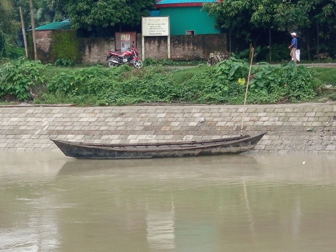
This river is quite narrow, although it is not very deep. The estimated depth of the river is between 5 feet and 9 feet. During floods, a strong current flows over it. The various boats floating in the flood currents create a beautiful scene here. However, traffic disruptions are noticeable in some areas. Small boats were used for transportation in the area from which I reviewed the Lauhajang River. Boats are mainly used to reach from one side of the river to the other.
I saw an interesting ghat here for crossing the river. Originally, there was a mat made of bamboo here to stop the boat. This bamboo mat serves as support for boarding the boat. Boats are used in this area for transportation of people along the riverbank. Although the possibility of building a bridge here is expected to be implemented very soon. If you look at the picture below, you will see that the boat has been stopped with a bamboo mat and passengers are getting on.
 Boat landing place Boat landing place |
|---|
 People were traveling by boat. People were traveling by boat. |
|---|
The course of the river always flowed from north to south, with a steady current. When a river floods, the river current flows from north to south. I noticed the current flowing at a steady pace in this narrow river. I also enjoyed the boats moving along the river. I saw some boats going with the current and some going against the current. Basically, people chose to go against the flow to reach their destination.
I noticed many sandbags on the riverbank. Sandbags are mainly used for maintenance when erosion occurs on the river banks. Sufficient sandbags have been placed here to protect people's residential assets in the surrounding area from destruction. The sandbags have been allocated by the Bangladesh Rivers and Dams Authority. Because people should not lose their homes due to river erosion. See the flowing river and the reserved sandbags in the picture below.
 A river flowing at a steady pace. A river flowing at a steady pace. |
|---|
 Adequate sandbag storage to protect river erosion. Adequate sandbag storage to protect river erosion. |
|---|
I surveyed several areas along the banks of this narrow river. The beauty of the boats tied up on the riverbank was very captivating. I was especially impressed by the sight of the colorful boats. If you can enjoy the Lauhajang River from this area of Mirzapur, you will feel it more. It wasn't a completely flood moment, though. However, the flow and beauty of this river will increase manifold during the flood.
Here I saw two types of boats. Most of the boats were open, but I saw one boat with a roof. If you can travel for a longer time on the river, you will see more boat traffic and beauty. Among the few boats I enjoyed sailing along this river, the most notable were the colorful canopies. It looked like a house. Continue to enjoy the beauty of the boat in the pictures mentioned below.
 Boats with colorful roofs on the river. Boats with colorful roofs on the river. |
|---|
 Open boat on the river bank. Open boat on the river bank. |
|---|
I noticed a large crowd of people here enjoying the river's flow and beauty. Sufficient concrete forms were installed on both banks of the river to protect it from erosion. I also noticed some delicious food stalls along the riverbank. People were buying and eating their favorite foods at the delicious food stalls on the riverbank.
I saw mobile shops selling fuska, muri, chanachur, nuts, etc. here. Many people were buying these foods. Noticing the crowds on the riverbank, some people have chosen to sell delicious food. People come here to enjoy the beauty of the river, eat delicious food, and it becomes a means of livelihood for some people.
 Some delicious temporary food stalls on the riverbank. Some delicious temporary food stalls on the riverbank. |
|---|
Lauhajang River is one of the most well-known tributaries of Bangladesh. I have mentioned some more information about this river below. Take a look at the table below, which will give you a good idea in a nutshell.
| Place name | Lauhajang River |
|---|---|
| Type of place | River |
| Google maps/plus code | https://maps.app.goo.gl/TStVZYG4zqRrPjoWA |
| Atlas pin code | [//]:# (!steematlas 24.0969375 lat 90.0955625 long Lauhajang River, d3scr) |
| Location Country | Bangladesh |
| Division | Dhaka |
| Source of the river | Yamuna River |
| River depth | Up to 9 feet |
| Environment | Charming |
| River flow | One-way |
| Website/Wikipedia | https://en.wikipedia.org/wiki/Louhajang_River |
| Overall review | 9.5 |
এটা আমাদের মির্জাপুর এলাকার স্বনামধন্য কুমুদিনী হসপিটালের দক্ষিণ পাশে অবস্থিত নদীটি। এই নদীটা দেখতে খুবই সুন্দর এবং চমৎকার। তবে দুই এলাকার মানুষদের চলাচলের জন্য মাঝখানে একটি সেতু প্রয়োজন। ✅✅
আপনাদের মির্জাপুর আমাদের টাঙ্গাইলে 😂
আগে আমাদের তারপর বাঁচলে টাঙ্গাইলের 😅