Habra Golabari Ground
 |
|---|
Hellow steemian,
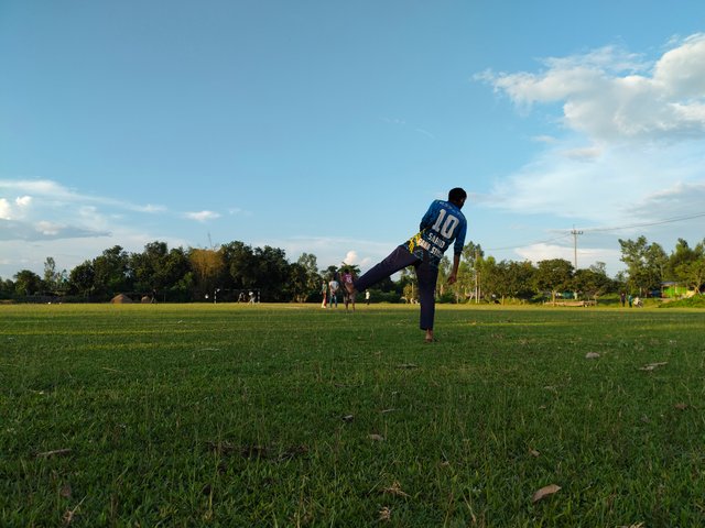
How are you all? Hope everyone is well. Alhamdulillah I am fine as well. Today I will discussion about Habra Golabari Ground. Habra Golabari ground is located 2 km away from my house. It is the playground of Habra High School.
This Golabari ground is known as one of the most important fields of Parbatipur upazila. This ground regularly organizes big tournaments. First of all, let's say about the name of this field – there is a famous story behind the name of this field. During the liberation war of Bangladesh in 1971, members of the Bangladesh Mukti Bahini fired from this field. So this field was named after this shelling mukti Bahini.
 |  |
|---|
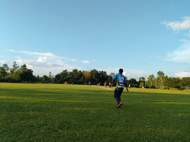
Later, the ground was registered in the name of Habra School. That is, I can say the birth of this field in 1971. Two match can be run simultaneously in this field. The length of this field is about 1 kilometer and width is 500 meters. The Kharkharia river flows on the east side of this field and the highway is on the west side. This highway is called Parbatipur to Phulbari.
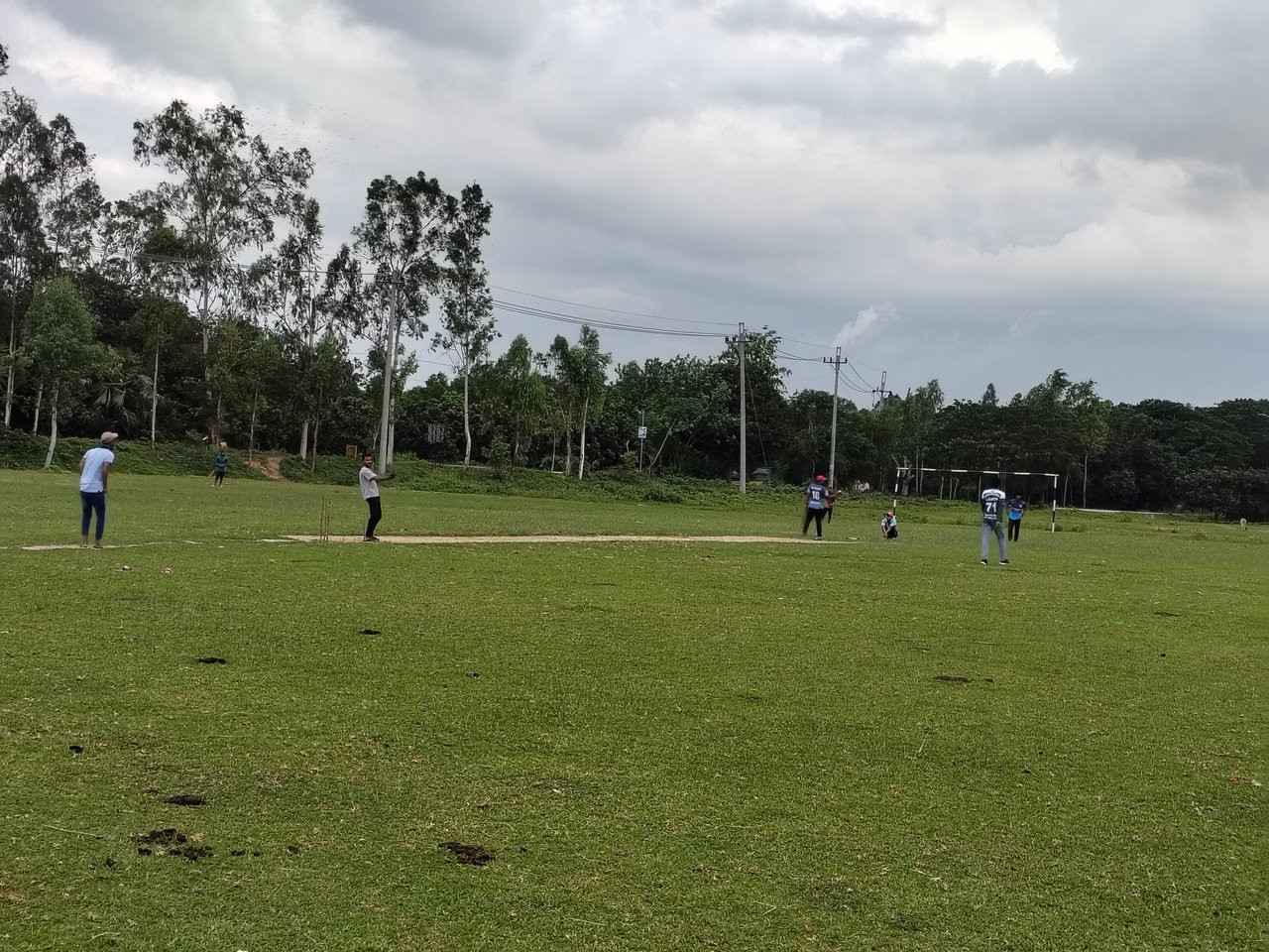
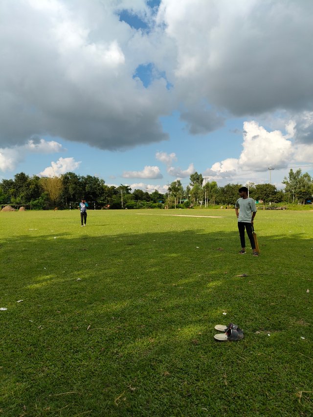
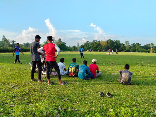
Beautiful artificial grass has grown in the field. Various meetings and weddings are organized in this field every day. We have a football team named Habra Lal XI around this ground.There are banyan trees and some mango trees on the north and south sides of the field. Everyone can eat fruit from these trees. A few days ago this ground was occupied by politicians but now it is again free for sports. High school and college level games are organized in this field.
 |  |
|---|
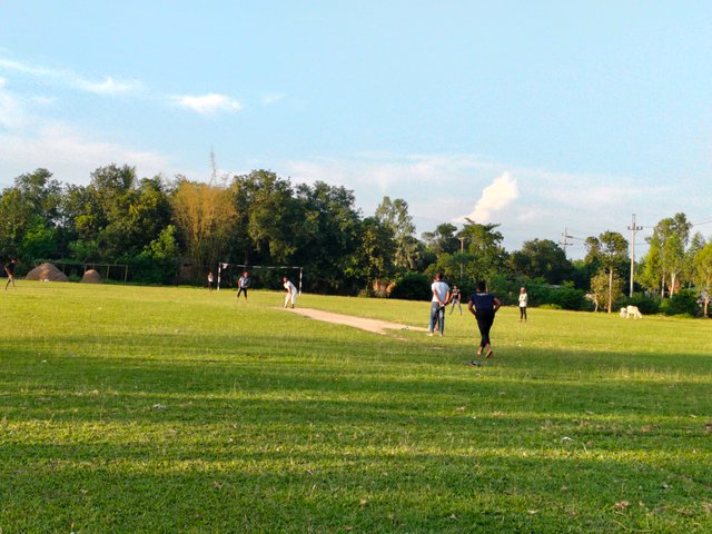
There is currently no government donation on this ground, but hopefully this field will work as a stadium at one time. This field is emotional name for me. There is a tubewell for drinking water through the north of the field. Players can drink water from here.
|
|---|
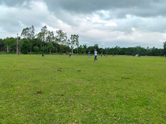
There is also a village on the north side of this field and across the highway to the east of the text is the Habra GBK Nursery. This ground carries a tradition along with sports that has made our area famous. I have played football and cricket here since I was a child.To maintain the environment of the field, it has been said to refrain from drinking all kinds of intoxicating materials.
 |
|---|
| https://goo.gl/maps/uvw3tegED9oQwFjg6 |
| steem-atlas |
| - |
| //:# (!steematlas 25.603608 lat 88.921914 long Habra Golabari Ground d3scr) |
Upvoted! Thank you for supporting witness @jswit.
SPOT-LIGHT TEAM: Your post has been voted from the steemcurator07 account.
Hello, there's around 50m difference with the pin location in steem atlas map, and the google map link you provided. Can you verify the location? You can usee the "enter coordinate" option if needed.
@booming04 Hello sir, I solved it. The field is 1 kilometer long. That's why it shows such a difference. You can test it with code if you want. 25.603608 lat 88.921914
1KM long field? It's a pretty big distance. And on the other hand, there is a road in between your pinned location and the Google coordinate point, as shown in the image below.
Yes sir. This road leads to a village. This village is located to the northwest of the field.